Precise, readable, shareable — and pleasant to use, in day or night.
📸
Geotagged capture
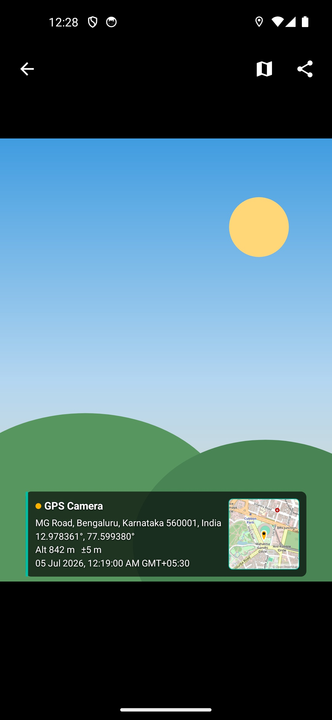
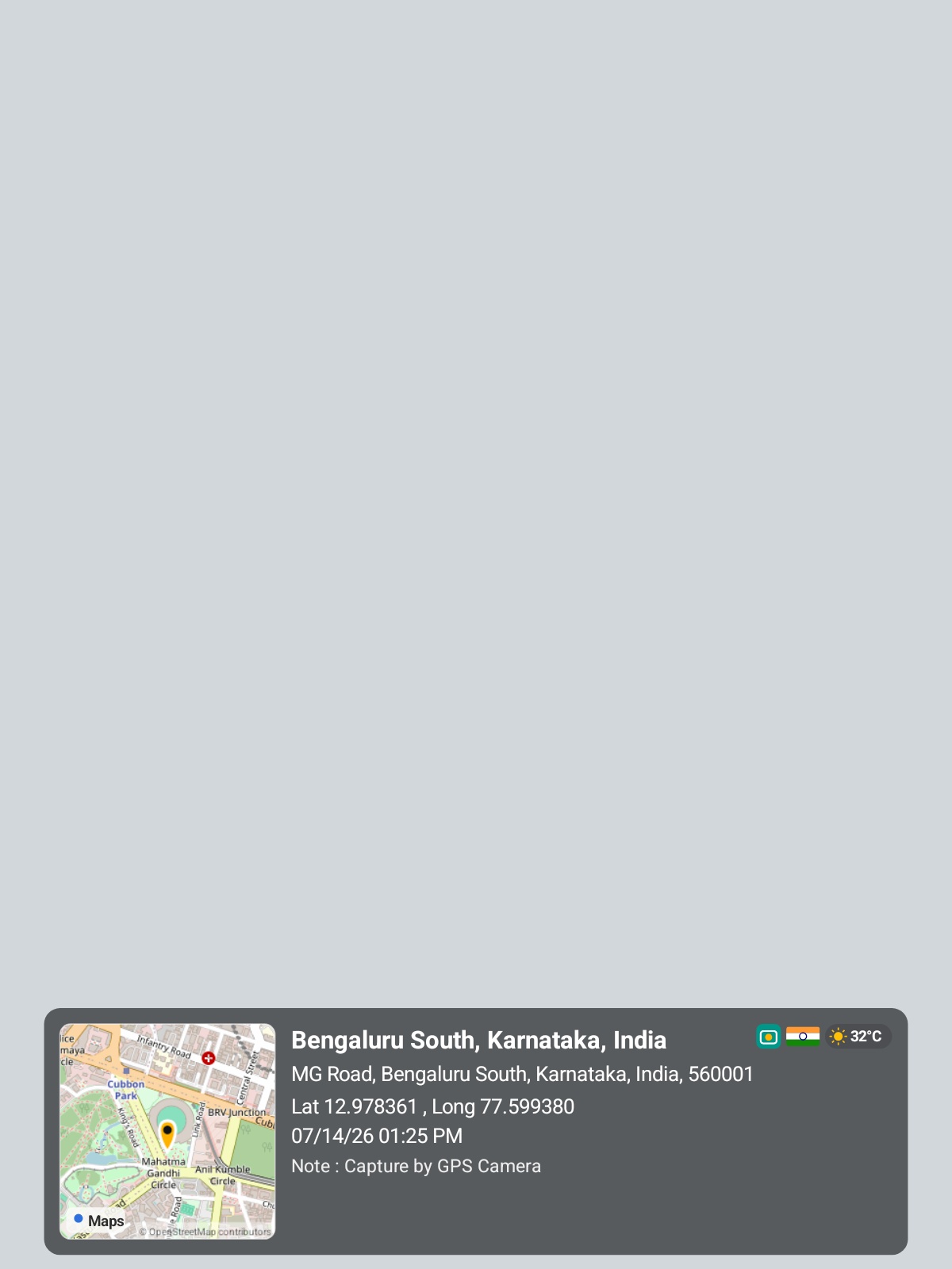
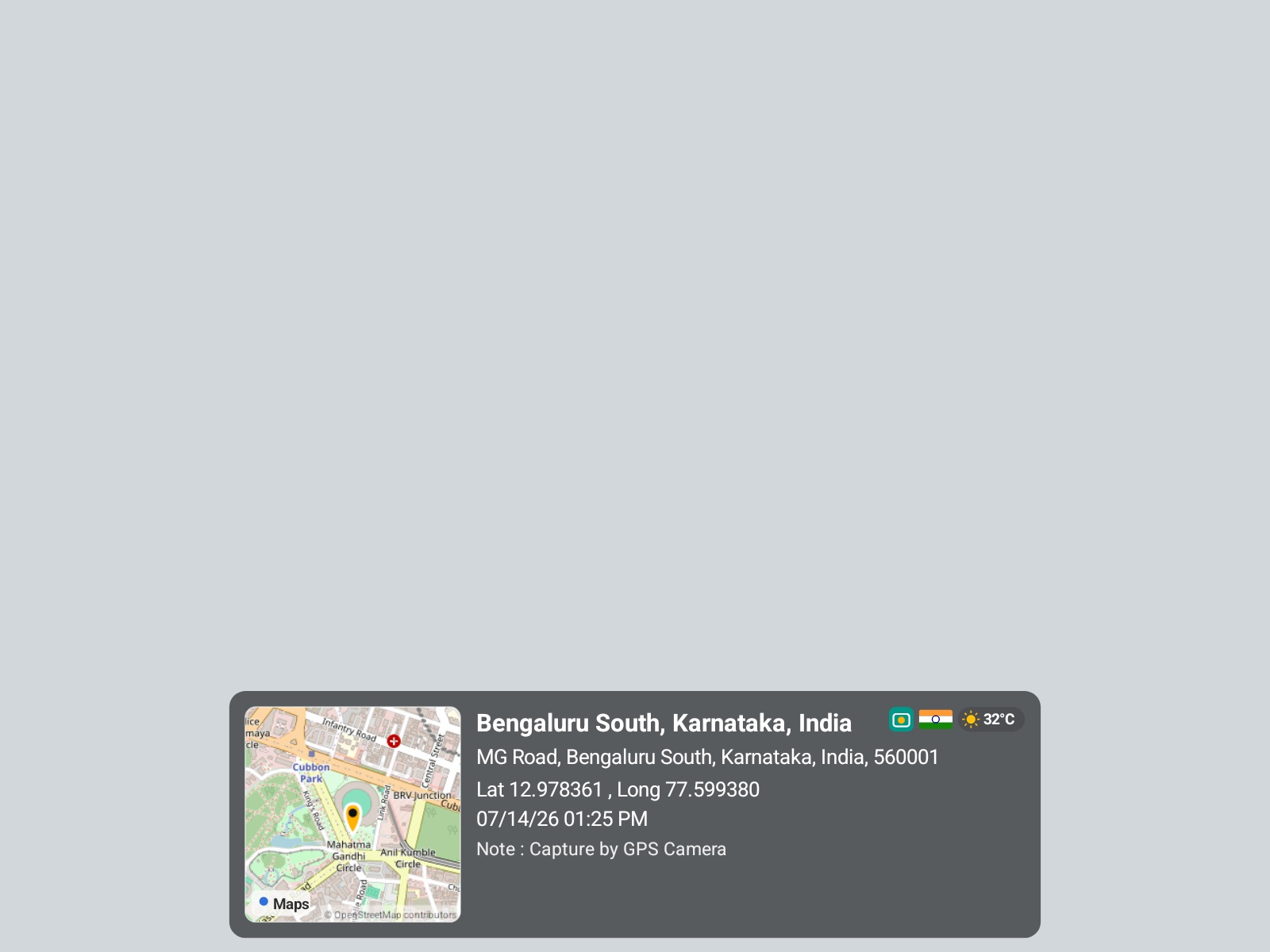
A clean map-on-the-left card burns the locality, full address, Lat / Long, altitude, timestamp and live temperature onto the photo.
🗺️
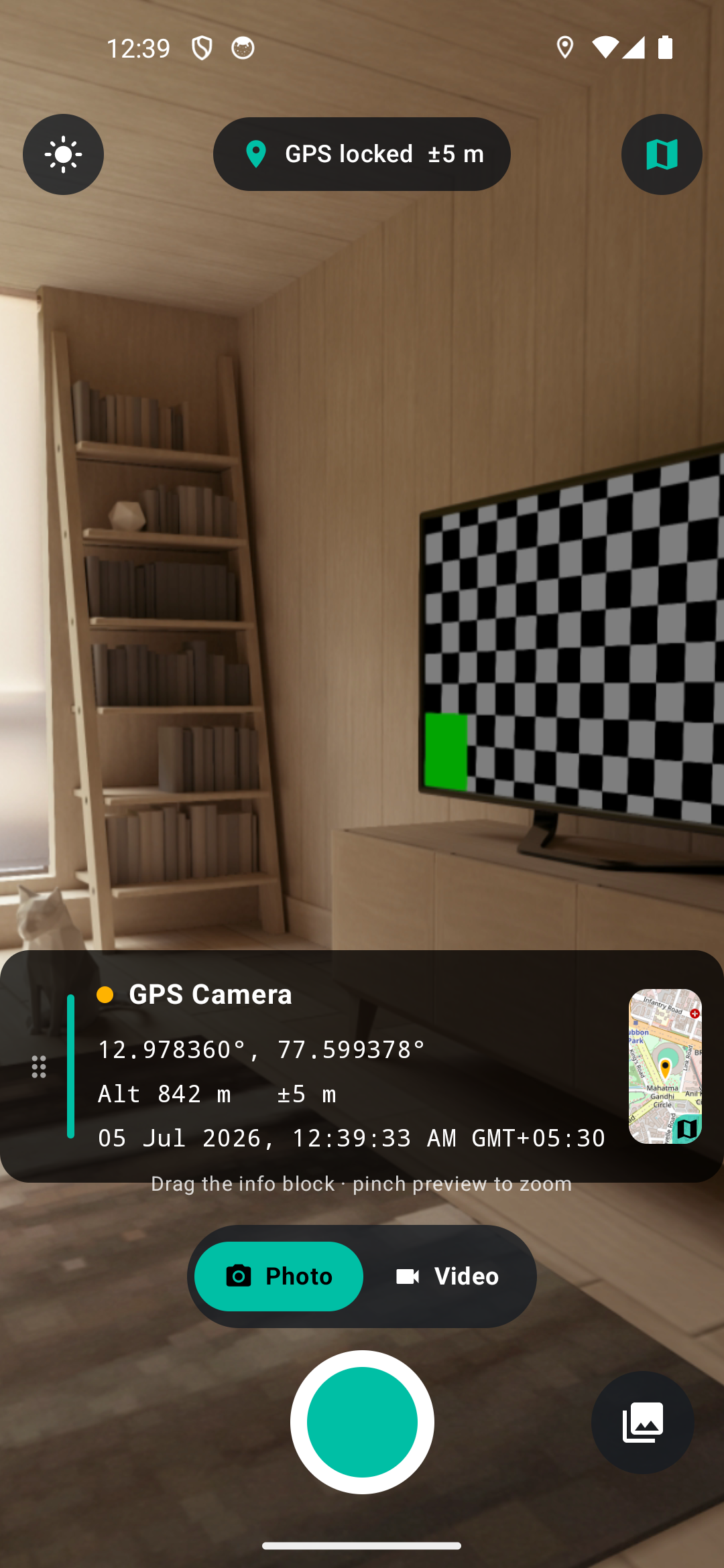
Live mini-map
A real OpenStreetMap thumbnail of your exact spot — shown live and stamped onto the shot. Tiles are cached & retried so it always embeds.
👆
Open in Maps
Tap the map to jump straight to the coordinates in Google Maps — the link is embedded in the photo's EXIF too.
🌡️
Live temperature
The current temperature at your location via the keyless Open-Meteo API, shown beside a country flag and the app logo.
🎥
Geotagged video
Record clips with the GPS map & info panel burned right onto the footage — and the location embedded in the file — then pinch to zoom.
🖼️
Full-screen gallery
Photos and videos in one grid — tap to open, swipe, pinch-zoom or play in-app, then open in Maps or share.
🧲
Move & resize
Drag the info block anywhere and pinch to resize before you capture. It's burned exactly as arranged.
🔁
Portrait & landscape
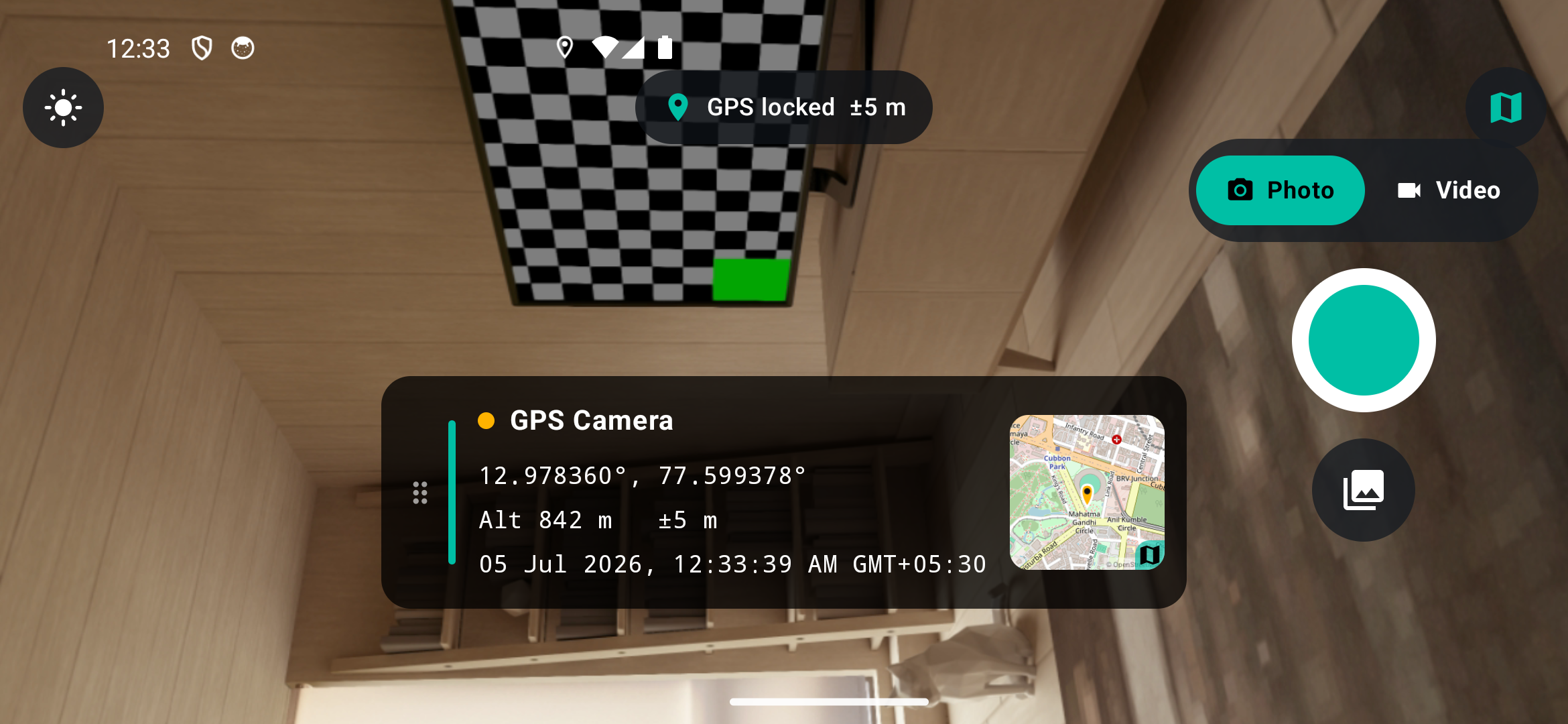
Rotates smoothly and reflows the controls to a side rail in landscape — the stamp stays upright.
🔄
Front & back camera
One-tap lens switch — shoot geotagged selfies with the front camera or the scene with the rear.
🧭
Standards EXIF
GPS lat/lon/alt/timestamp written into the JPEG, so Google Photos & Lightroom map it automatically.
🌗
Day & night
Light and dark themes with a one-tap toggle. Follows your system setting by default — just like this page.
🛡️
Resilient location
Merges Google Play Services fused location with the platform GPS/network providers, so it works without Play Services.
⚡
Fast & native
Kotlin + Jetpack Compose + CameraX. No heavyweight frameworks — just a quick, responsive shutter.